Center for Geospatial Analysis Events
This calendar presented by
Center for Geospatial Analysis
Skip calendar navigation
28 | 29 | 30 | 31 | 1 | 2 | 3 |
4 | 5 | 6 | 7 | 8 | 9 | 10 |
11 | 12 | 13 | 14 | 15 | 16 | 17 |
18 | 19 | 20 | 21 | 22 | 23 | 24 |
25 | 26 | 27 | 28 | 29 | 30 | 1 |
| Go to today | ||||||
Skip calendar navigation
28 | 29 | 30 | 31 | 1 | 2 | 3 |
4 | 5 | 6 | 7 | 8 | 9 | 10 |
11 | 12 | 13 | 14 | 15 | 16 | 17 |
18 | 19 | 20 | 21 | 22 | 23 | 24 |
25 | 26 | 27 | 28 | 29 | 30 | 1 |
| Go to today | ||||||
Indigenous Story Maps and UNESCO World Heritage
Indigenous Story Maps and UNESCO World Heritage
Friday, April 2
1pm
Zoom
Maps used for the management of UNESCO World Heritage sites served bureaucratic resource management. However, maps offer an opportunity to represent associative cultural landscapes, intangible cultural elements, and the geographies of Indigenous peoples.
Geospatial Research Symposium
Geospatial Research Symposium
Friday, April 16
1pm - 4pm
Zoom
Join the Center for Geospatial Analysis and Institute for Integrative Conservation for the 3rd annual Geospatial Research Symposium, a part of undergraduate research month.
Lidar Remote Sensing for Earth Science Applications
Lidar Remote Sensing for Earth Science Applications
Friday, April 30
1pm
Zoom
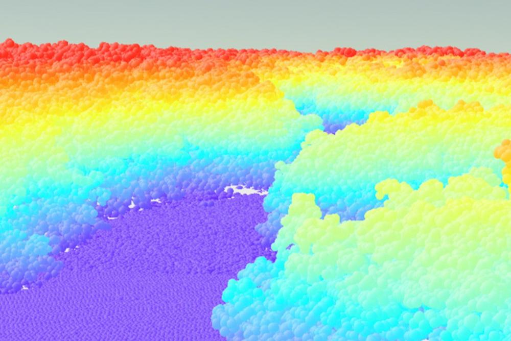
Dr. Barton-Grimley is a remote sensing Instrument Scientist at the NASA Langley Research Center. This talk gives a brief overview lidar and its working principals, geographic registration and data reduction, examples of the resulting data products.
| SuSunday | MoMonday | TuTuesday | WeWednesday | ThThursday | FrFriday | SaSaturday |
|---|---|---|---|---|---|---|
28 | 29 | 30 | 31 | 1 | 3 | |
4 | 5 | 6 | 7 | 8 | 9 | 10 |
11 | 12 | 13 | 14 | 15 |
| 17 |
18 | 19 | 20 | 21 | 22 | 23 | 24 |
25 | 26 | 27 | 28 | 29 | 1 |


