
Geology Events
This calendar presented by
Geology
Skip calendar navigation
25 | 26 | 27 | 28 | 1 | 2 | 3 |
4 | 5 | 6 | 7 | 8 | 9 | 10 |
11 | 12 | 13 | 14 | 15 | 16 | 17 |
18 | 19 | 20 | 21 | 22 | 23 | 24 |
25 | 26 | 27 | 28 | 29 | 30 | 31 |
| Go to today | ||||||
Skip calendar navigation
25 | 26 | 27 | 28 | 1 | 2 | 3 |
4 | 5 | 6 | 7 | 8 | 9 | 10 |
11 | 12 | 13 | 14 | 15 | 16 | 17 |
18 | 19 | 20 | 21 | 22 | 23 | 24 |
25 | 26 | 27 | 28 | 29 | 30 | 31 |
| Go to today | ||||||
Exploring Google Earth Street View, photogrammetry, and LiDAR for hazard analysis along roadways
Exploring Google Earth Street View, photogrammetry, and LiDAR for hazard analysis along roadways
Wednesday, March 28
4pm - 5pm
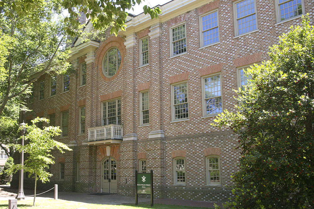
McGlothlin-Street Hall, Room 219
Join the Geology Department for our third seminar of this semester! Yonathan Admassu from JMU will talk about utilizing Google Earth Street View, structure-from-motion photogrammetry, and terrestrial LiDAR for Rockfall hazard analysis along roadways.
| SuSunday | MoMonday | TuTuesday | WeWednesday | ThThursday | FrFriday | SaSaturday |
|---|---|---|---|---|---|---|
25 | 26 | 27 | 28 | 1 | 2 | 3 |
4 | 5 | 6 | 7 | 8 | 9 | 10 |
11 | 12 | 13 | 14 | 15 | 16 | 17 |
18 | 19 | 20 | 21 | 22 | 23 | 24 |
25 | 26 | 27 | 29 | 30 | 31 |