Computer Science Events
[PAST EVENT] CGA Speaker Series: Droning On and On
Access & Features
- Open to the public
- Registration/RSVP

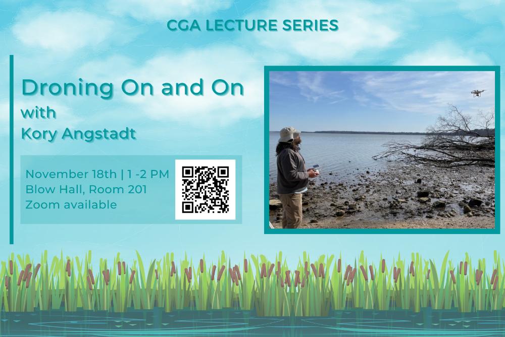
As part of the CGA’s Geography Awareness Week activities, our speaker series continues with a talk from the Virginia Institute of Marine Science (VIMS)’s Kory Angstadt! Kory will discuss how drones have simplified the field collection of accurate elevations and measuring the extent of plant communities in tidal marshes. The hybrid event will take place on November 18th at 1 pm at Blow Hall (Room 201) and via Zoom livestream.
About Kory Angstadt:
Kory Angstadt has been a field technician at the Center for Coastal Resources Management (CCRM) at VIMS for the last 20 years and has been a Unmanned Aircraft Systems (UAS) pilot for the past 5 years. After obtaining his undergraduate degree in Marine Biology from Millersville University, he worked on NOAA vessels in the South Pacific, studying barnacles. He was then the Programs Manager of the Wallops Island Marine Science Consortium where he learned many of the plant and animal species that make up Virginia’s Coastal Plain and near shore environments. He uses drone and GIS technologies to study shoreline systems, assess wetland plant communities and create high resolution elevation maps.
Contact
[[cga]]
