
Arts & Sciences Events
[PAST EVENT] Machine Learning Prediction of Potential Fire Control Locations
Location
Zoom Lecture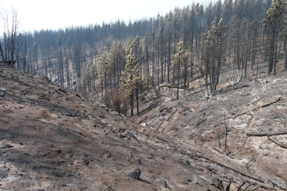
Every year, many hundreds of thousands of Americans are impacted by wildfires. Between January 1 and October 12, 2020 alone, a total of 45,635 reported fires burned a staggering 8,280,756 acres of land, more than the decadal average of 6,287,472 acres for the year-to-date. Attempts to control these fires are costly: federal fire fighting costs amount to $2.3B per year on average. Motivated by concerns for fire fighter safety, increasing cost of fire suppression, and the potential of wildfire use as a land management tool on public and private lands, we have developed a machine-learning-based approach to assess potential fire behavior, and identify the best predictors of potential fire control locations. Geospatial studies are adopting machine learning methods because of their ability to predict spatial processes without explicit instructions, based on patterns of behavior. In this seminar we will discuss how to properly train a classifier for the purpose of predicting potential fire control locations, and show what a prediction map looks like.