
Reves Center for International Studies Events
[PAST EVENT] Addressing Biodiversity Conservation Challenges and Environmental Injustices through GIS
Location
Sadler Center, Commonwealth Auditorium200 Stadium Dr
Williamsburg, VA 23185Map this location
Access & Features
- Open to the public
- Registration/RSVP
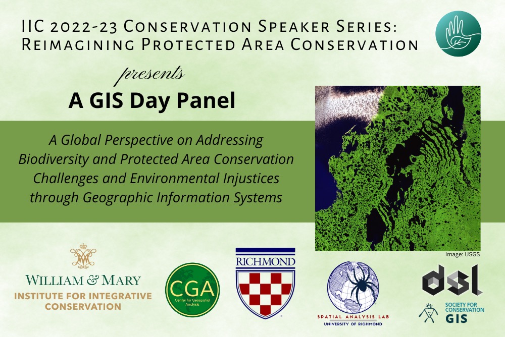
A Global Perspective on Addressing Biodiversity and Protected Area Conservation Challenges and Environmental Injustices through Geographic Information Systems
Traditional notions of environmental justice (EJ) focus on the distribution of environmental impacts and the people who unjustly and unfairly suffer from those impacts. Geospatial analysis and geographic information systems (GIS) have been useful tools to document and expose distributive environmental injustice as they use spatial information to map and evaluate various data and how they relate to one another. Beyond distributive injustices, GIS can play an important role in addressing other forms of environmental injustice, including issues of recognition, procedure, and participation in conservation. GIS can be used to better understand how local approaches to ownership and stewardship of nature can improve local environmental outcomes, or how direct participation and local leadership can drive conservation approaches.
In this panel, you will hear from experts that are addressing a range of biodiversity conservation, protected area, and environmental justice issues through the lens of geospatial analysis. Applications include: enabling local communities to monitor and map environmental resources; investigating overlap between indigenous peoples & local communities’ lands and areas to provide ecosystem goods and services; and working with US land-trust organizations to find more equitable and inclusive outcomes for the future of private land conservation easements. Following short presentations by each panelist, the floor will be open to all attendees to ask questions of the panel or share their own uses of GIS to address environmental injustices.
Featuring:
Breece Robertson, Director of Impact Assessment and Monitoring, One Tree Planted.
Breece combines geospatial technology and storytelling to inspire, activate, educate, and engage people to protect our planet. She is a noteworthy leader in the conservation and parks field with over two decades of experience. She created and led the GIS, research and planning unit at The Trust for Public Land and built strategic initiatives like ParkScore, ParkServe and Greenprinting that use state-of-the-art technologies to make data and information accessible. In 2006, she was awarded the Esri Special Achievement in GIS award and in 2012, the “Making a Difference” award. She authored a book called “Protecting the Places We Love” published in April 2021 by Esri Press. When she’s not protecting places, she’s exploring and enjoying them.
Sushma Shrestha, Social Scientist, Moore Center for Science, Conservation International.
Sushma leads Conservation International’s efforts to map lands and waters under Indigenous Peoples and local communities' governance and tenure to better understand their contributions to conservation and climate goals. Her research portfolio also includes integrating indigenous knowledge systems into climate research and developing the capacities of Indigenous peoples in accessing conservation finance directly. Sushma holds a Ph.D. in Biology (Ethnobotany) from Miami University, Ohio, and has worked in Nepal Himalayas, the Ecuadorian Andes, and the coastal Dominican Republic with Indigenous peoples and local communities.
Robert Rose, Executive Director W&M Institute for Integrative Conservation
Robert came to William & Mary in 2015 as the Director for the Center for Geospatial Analysis (CGA). Prior to William & Mary he spent seven years at the Wildlife Conservation Society as the Assistant Director of Conservation Support, a team that provided technical support and training to conservation programs around the globe. Robert’s interests include conservation and conservation planning, the use of GIS and remote sensing to better understand drivers of land change and broader conservation issues, the promotion of remote sensing for conservation applications and the integration of advanced and interactive geovisualization tools to better engage students in the classroom. Robert earned a PhD in Geography with a minor in ecology from the University of Wisconsin-Madison.
Christina Sabochick, GIS Fellow, W&M Center for Geospatial Analysis
Christina is a recent graduate from William & Mary with a B.S. in biology and environmental science. During her time there, she worked on IIC research projects with American Bird Conservancy, the Santa Fe Conservation Trust, and Conservation International. She also worked for the W&M Center for Geospatial Analysis (CGA) as a teaching assistant for the Geovisualization & Cartography and Sharpe Community Mapping Project courses and an intern doing GIS work for the U.S. Fish and Wildlife Service. Following her graduation after the fall 2021 semester, she volunteered as an ornithology teaching assistant for the W&M biology department and worked at the CGA as a spring GIS Fellow. Currently, she is working for the CGA as a yearlong GIS Fellow.
Moderated by Justin Madron, Associate Director, University of Richmond Digital Scholarship Lab
Justin coordinates the development of digital collections, digital scholarship projects, applications, and manages all processes involved in the production and organization of spatial data for those projects. He is an adjunct lecturer for the Department of Geography and teaches courses in GIS, Design, and Geovisualization. Using the power of GIS and web technologies to reveal new research is at the intersection of his training, expertise, and interest. He co-authored and helped develop one of the most impactful digital history projects of the past several years, American Panorama: An Atlas of United States History. American Panorama includes “Mapping Inequality,” which is a widely used resource on redlining in the twentieth-century.
November 16, 2022
9:00 - 10:30 AM
W&M Sadler Center, Commonwealth Auditorium
This event is part of the Institute for Integrative Conservation 2022-23 Conservation Speaker Series: Reimagining Protected Area Conservation, and is part of a World GIS Day event series sponsored by the Institute for Integrative Conservation, the University of Richmond Spatial Analysis Lab, and the University of Richmond Digital Scholarship Lab, in collaboration with the W&M Center for Geospatial Analysis and the Society for Conservation GIS.
This event is FREE and OPEN TO THE PUBLIC
Contact
https://www.wm.edu/offices/iic/
This Event Appears On
- W&M Featured Events
- Arts & Sciences Events
- Government Events
- Chemistry Events
- Computer Science Events
- Public Policy Events
- Center for Geospatial Analysis Events
- Career Development & Professional Engagement Events
- Reves Center for International Studies Events
- Sustainability Events
- Anthropology Events
- William & Mary Crim Dell Association
- Hulon Willis Association (HWA)
- LatinX Alumni of William & Mary (LatinX)
- Institute for Integrative Conservation Events
- Asian, Pacific Islander and Middle Eastern Alumni
- Democracy Initiative